India protests to WHO over map showing J&K as separate

New Delhi–The World Health Organisation (WHO) map showing Jammu and Kashmir and Ladakh as separate from India has sparked a controversy with the Indian government taking offence at the “inaccurate depiction”
Indian has raised the matter with the organisation.
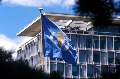
Reports said the issue was raised by Indian envoy to United Nations in Geneva, Indramani Pandey, with WHO Director General Tedros Adhanom Ghebreyesus.
Pandey has expressed “deep displeasure” at the WHO move and sought its chief’s “immediate intervention” for “removal of maps” which have been inaccurately depicting the boundaries of India and replacing them with “accurate maps”.
This is the third time in a month that India has raised this issue with the WHO.
WHO had issued a colour-coded map of countries to show the latest pandemic numbers. The map has depicted Union Territories of Jammu and Kashmir and Ladakh as separate from the Indian mainland.
WHO shows India as navy blue, whereas Jammu and Kashmir and Ladakh have been coloured grey as a separate region.
WHO has been criticised heavily by US and other countries for siding with China during the Covid 19 pandemic. US President Donald Trump had called WHO a “puppet of China”. (IANS)